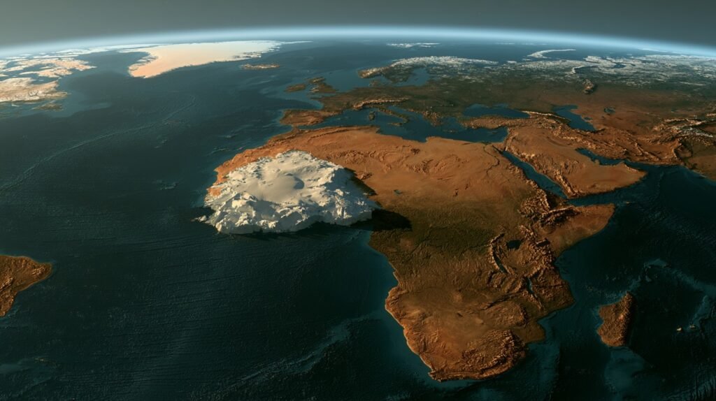

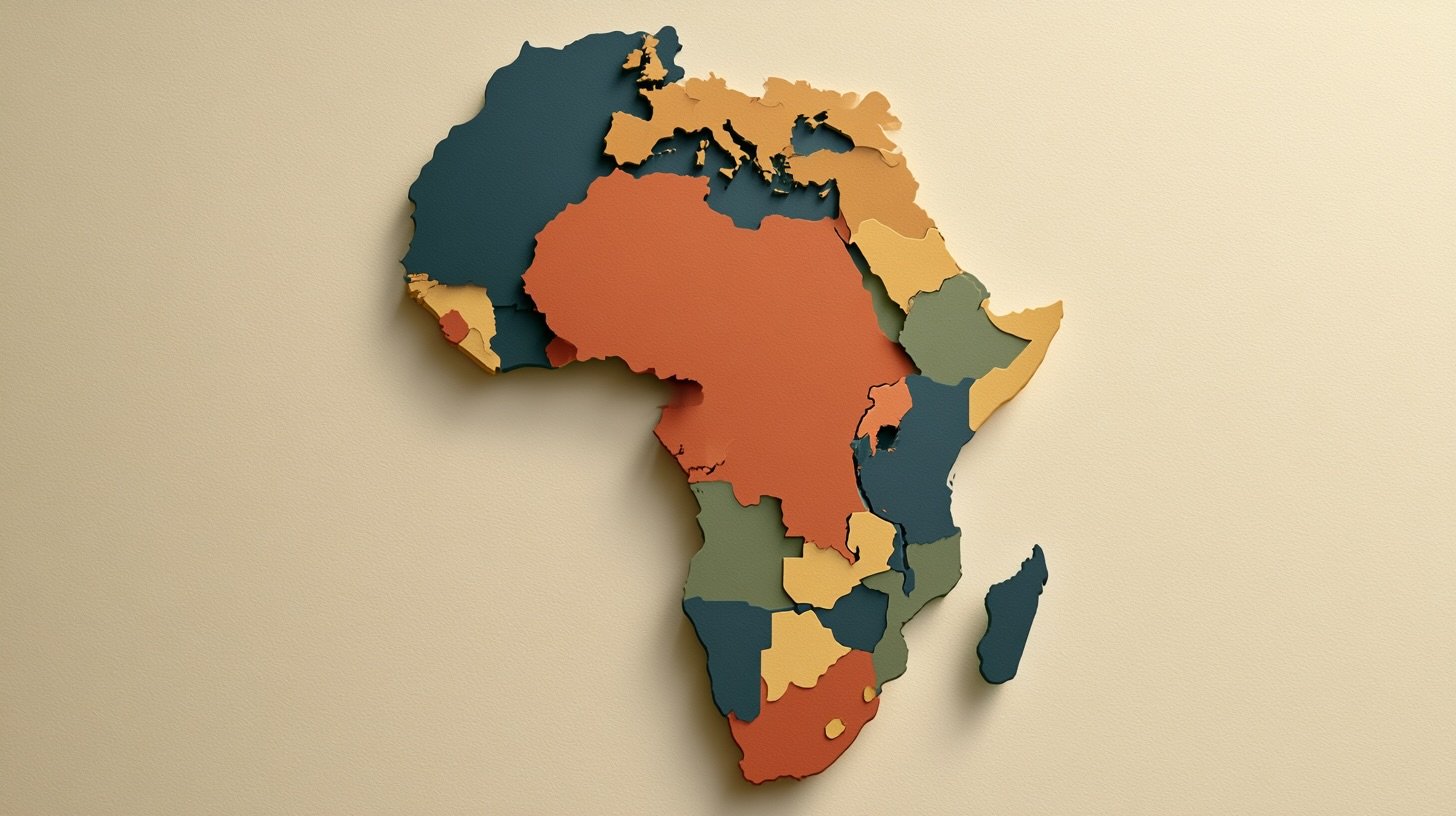

The facts, then. Africa covers 30.3 million square kilometres. That is 20 percent of the Earth’s land area. Yet on the world map you have seen your entire life, the continent looks about the same size as Greenland. Greenland is 2.1 million square kilometres. Africa is fourteen times larger. This is not a conspiracy. It is a cartographic flaw that has shaped global perception for four and a half centuries.
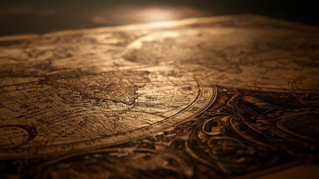
In 1569, a Flemish cartographer named Gerardus Mercator created a map designed for one specific purpose: navigation. It preserved compass bearings as straight lines, making it invaluable for sailors. But it came with a cost. To achieve that accuracy, Mercator stretched the map’s scale the further you moved from the equator. Countries near the poles appeared far larger than they actually are. Countries near the equator, like Africa and South America appeared far smaller.
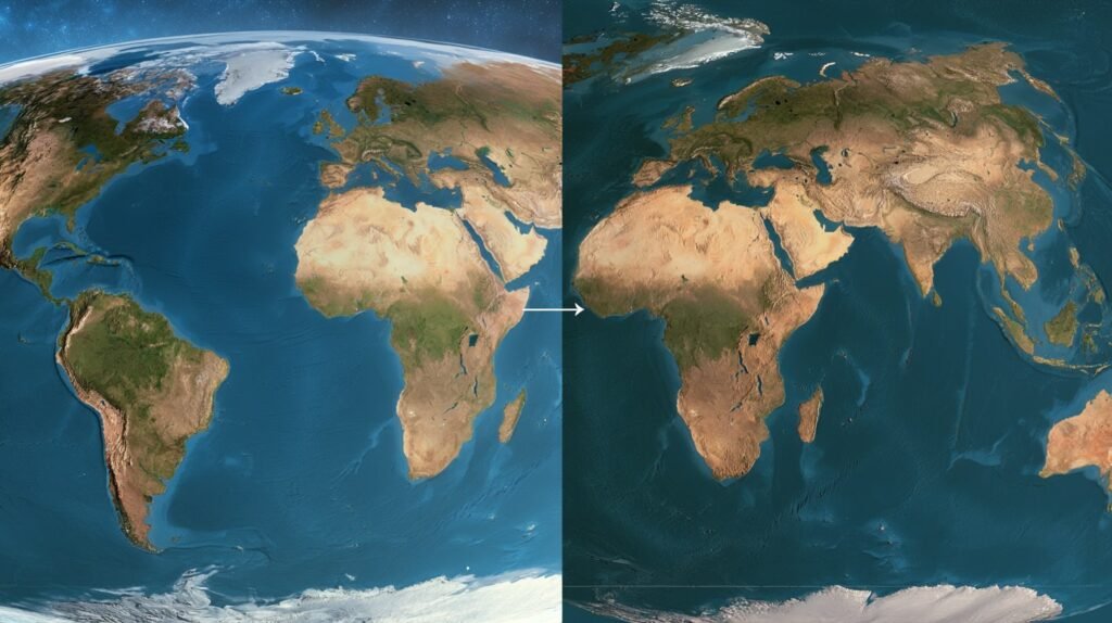
Greenland appears comparable to Africa, but Africa is 14 times larger. Russia appears nearly the same size, but Africa is almost twice as large. Europe appears much larger than its true size, when in reality Africa is three times larger than Europe. The African continent is so massive that you can fit the United States, China, India, and most of Europe inside it simultaneously, with room to spare. The US alone could fit into Africa 3.1 times.
In 2025, the African Union endorsed a campaign called “Correct The Map.” The campaign calls for replacing the Mercator projection with the Equal Earth projection, introduced in 2018, which preserves countries’ true proportions. “It might seem to be just a map, but in reality, it is not,” said Selma Malika Haddadi, the AU’s deputy chairperson. “It is the world’s longest misinformation and disinformation campaign,” said Moky Makura, executive director of Africa No Filter. “It simply has to stop.”

The campaign is not just about geography. It has real consequences. Stereotypes about Africa’s size reinforce perceptions of Africa as less significant, less powerful, and less worthy of attention. Children in African classrooms grow up with textbooks that shrink their continent. The map shapes how the world sees Africa, and how Africa sees itself. The map lied for 450 years. It is time to correct it.